What you’ll explore
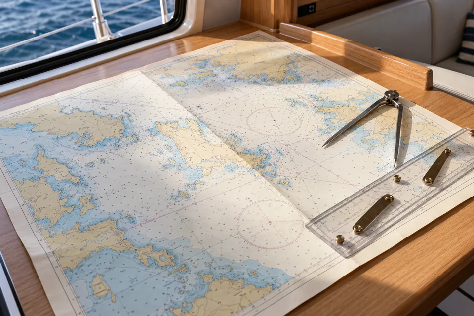
A chart connects your position with the water around you. This pathway introduces chart reading and position plotting, then explores visual fixes, dead reckoning, estimated positions and ways to cross-check GPS information.
- Reading a chart
- Latitude and longitude
- Distance and direction
- Visual fixes
- Dead reckoning
- Estimated position
- GPS cross-checks
Put the learning into practice
Practise plotting positions and understand how different position-finding methods can be checked against each other.
Work at your own pace and revisit the subjects you want to practise. Your free Helmlore account keeps your learning progress together.